

 David Rumsey Map Collection
 Perry-Castañeda Library Map Collection - UT Library
 Digital Public Library of America (DPLA)
 Library of Congress Map Collection
 Library of Congress Sanborn Fire Insurance Maps
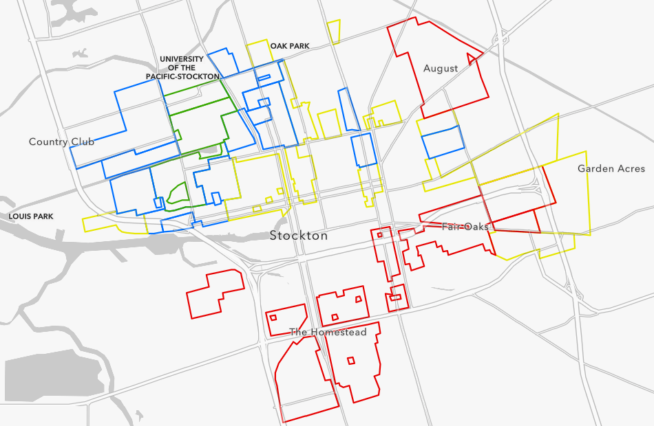 Home Owners Loan Corporation (HOLC) Redlining Maps (Historic)
 Tabulated HOLC Redlining Area Description Sheet Data